Precise Orbit Determination based on SLR and Raw GNSS Measurements and its use in Gravity Field and Space Safety Applications

Issue: Open Access E-Book
ISBN: 978-3-99161-111-0
Language: Englisch
Release date: September 2026
Series: Monographic Series TU Graz / Geodesy, Issue 6

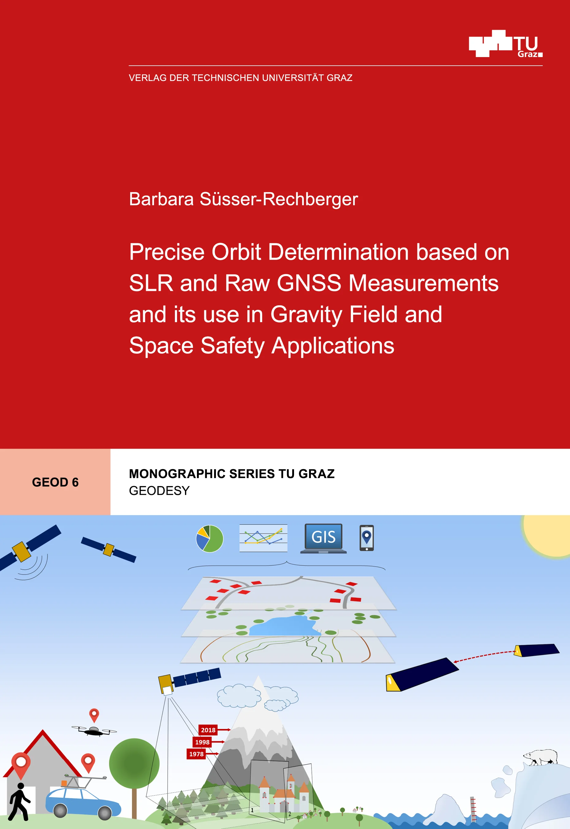
Knowledge of the complex system Earth and its surrounding space is essential. On the one hand, climate change is a major challenge, causing ice sheet melting, rising sea levels, increasing droughts, and severe weather events. On the other hand, external factors increasingly impact life: solar storms affect power grids and technical systems, while rising space debris threatens infrastructure in low Earth orbits. Kinematic orbits, based only on geometric observations, offer an alternative to recover temporal variations of Earth’s gravity field (reflecting mass changes) and to monitor how solar storms affect upper atmospheric density. This thesis describes modifications applied to the raw Global Navigation Satellite System (GNSS) approach to determine more accurate kinematic orbits, improving the accuracy of recovered gravity fields and thermospheric densities. This work also implements Satellite Laser Ranging (SLR) measurement processing. Orbits based on SLR observations represent an additional concept to analyze Earth’s gravity field and upper atmosphere reactions to solar storms. Furthermore, SLR measurements were used to develop an algorithm that significantly improves the initial orbit required for SLR station laser pointing alignment in space debris campaigns.


Knowledge of the complex system Earth and its surrounding space is essential. On the one hand, climate change is a major challenge, causing ice sheet melting, rising sea levels, increasing droughts, and severe weather events. On the other hand, external factors increasingly impact life: solar storms affect power grids and technical systems, while rising space debris threatens infrastructure in low Earth orbits. Kinematic orbits, based only on geometric observations, offer an alternative to recover temporal variations of Earth’s gravity field (reflecting mass changes) and to monitor how solar storms affect upper atmospheric density. This thesis describes modifications applied to the raw Global Navigation Satellite System (GNSS) approach to determine more accurate kinematic orbits, improving the accuracy of recovered gravity fields and thermospheric densities. This work also implements Satellite Laser Ranging (SLR) measurement processing. Orbits based on SLR observations represent an additional concept to analyze Earth’s gravity field and upper atmosphere reactions to solar storms. Furthermore, SLR measurements were used to develop an algorithm that significantly improves the initial orbit required for SLR station laser pointing alignment in space debris campaigns.